


Hand-drawn maps of estates, ranches and sporting land, by Anthony Pelly
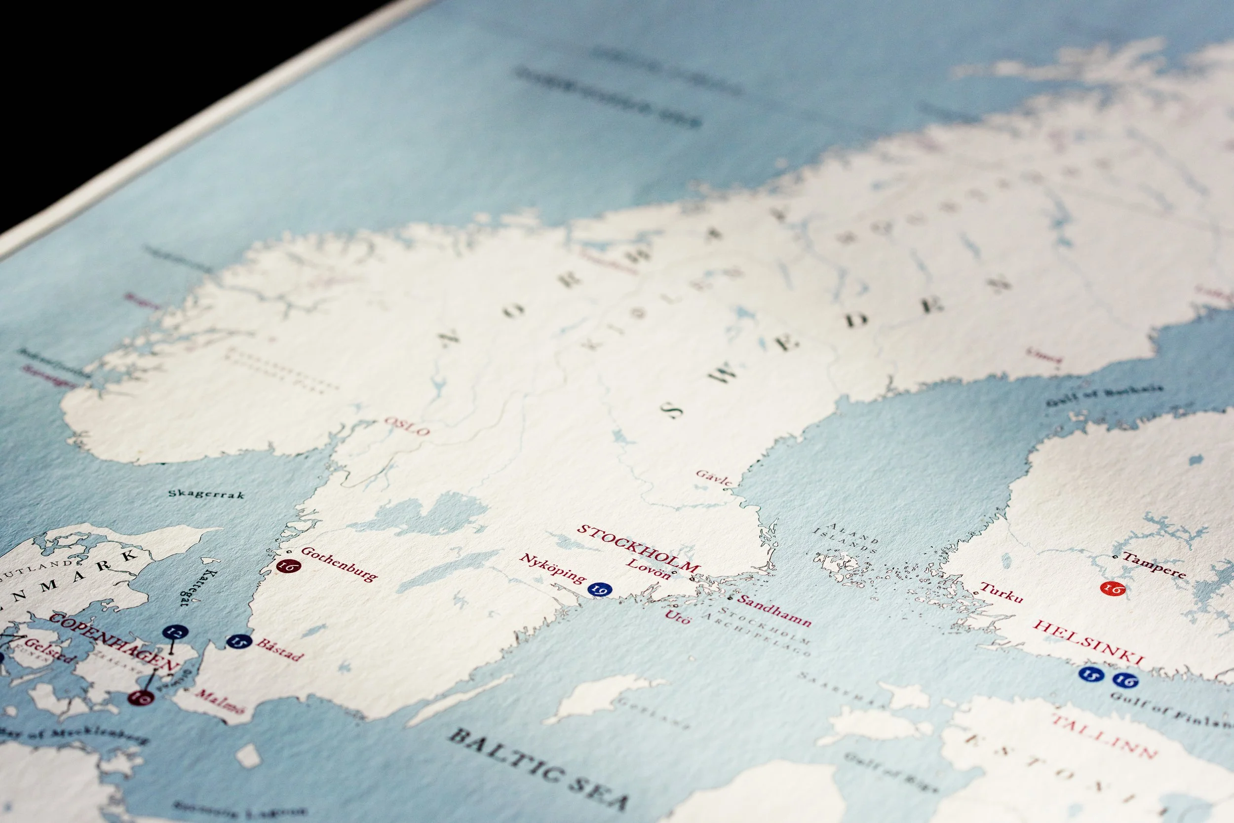
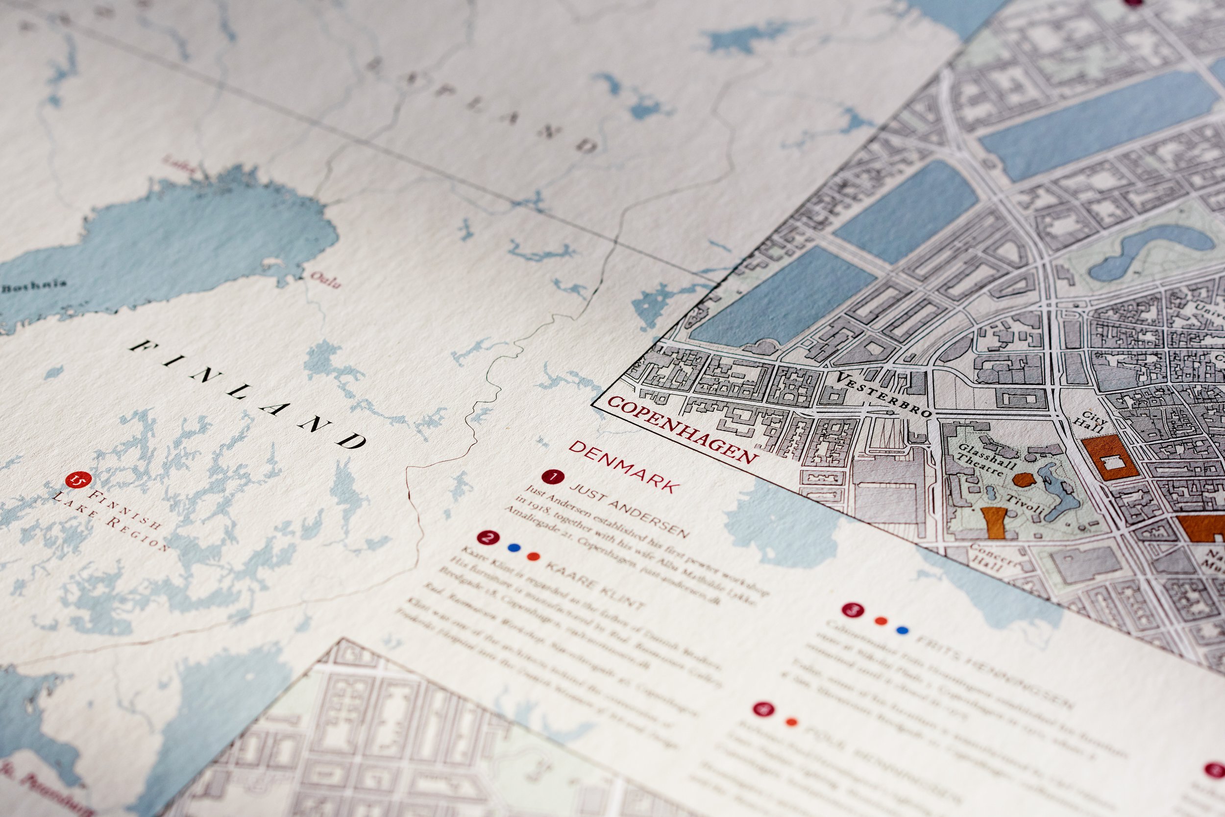
English estates, American ranches and plantations, Scottish grouse moors: bespoke maps researched on the ground and drawn by hand, made to hang for generations.
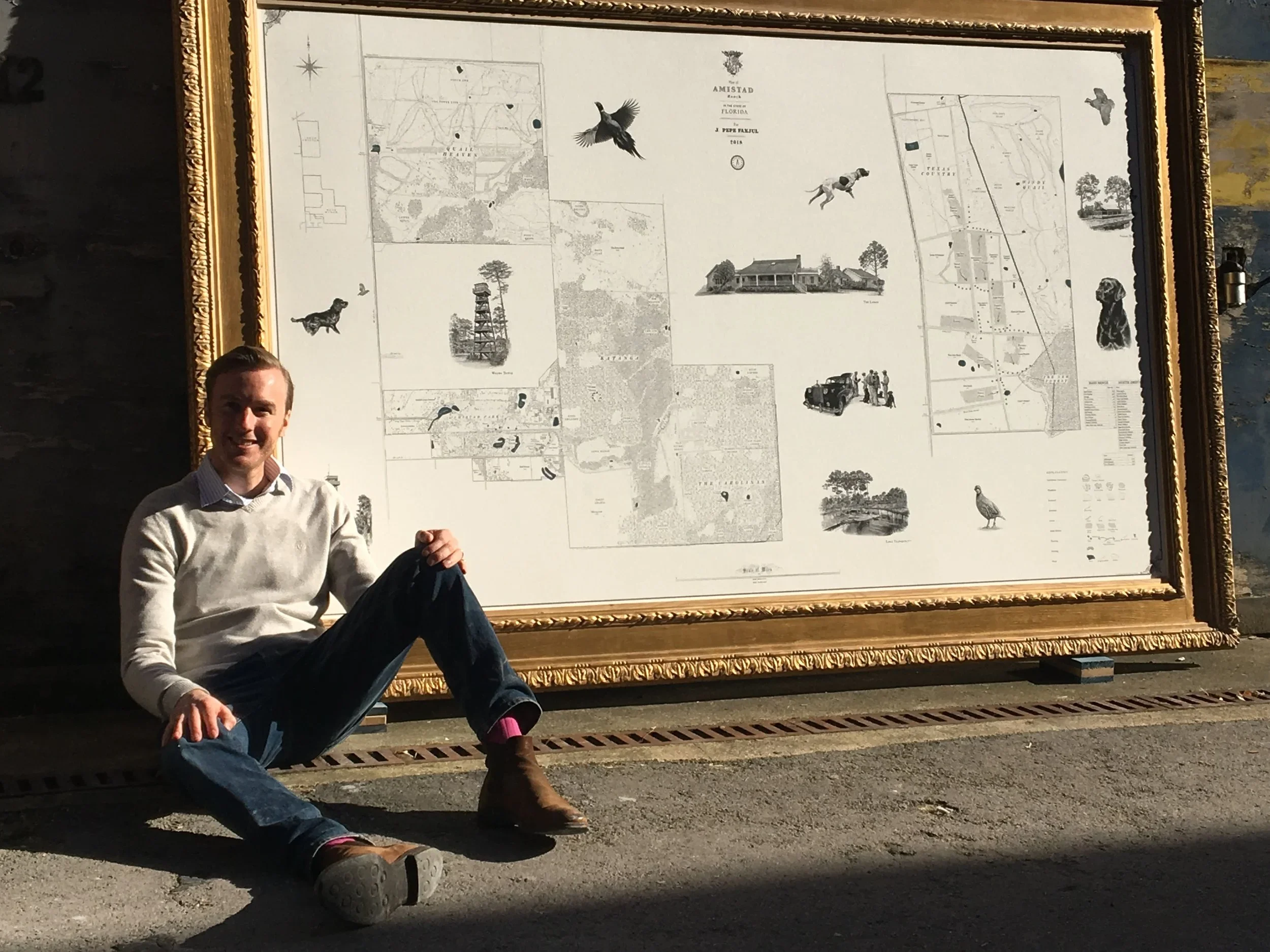
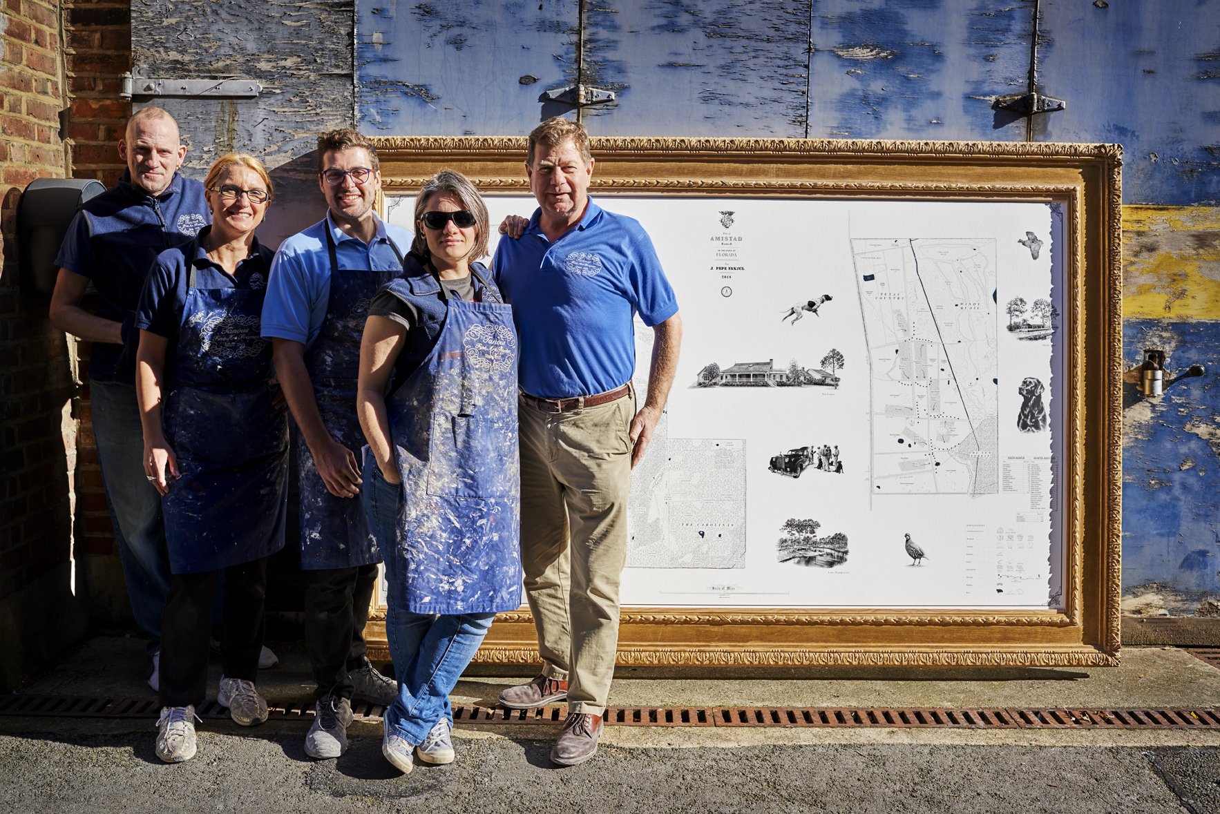
Anthony Pelly's first map was born of necessity. Realising a Kim Wilkie landscape design across his family's estate in Hampshire, he needed a map good enough to work from. None existed, so he drew one.
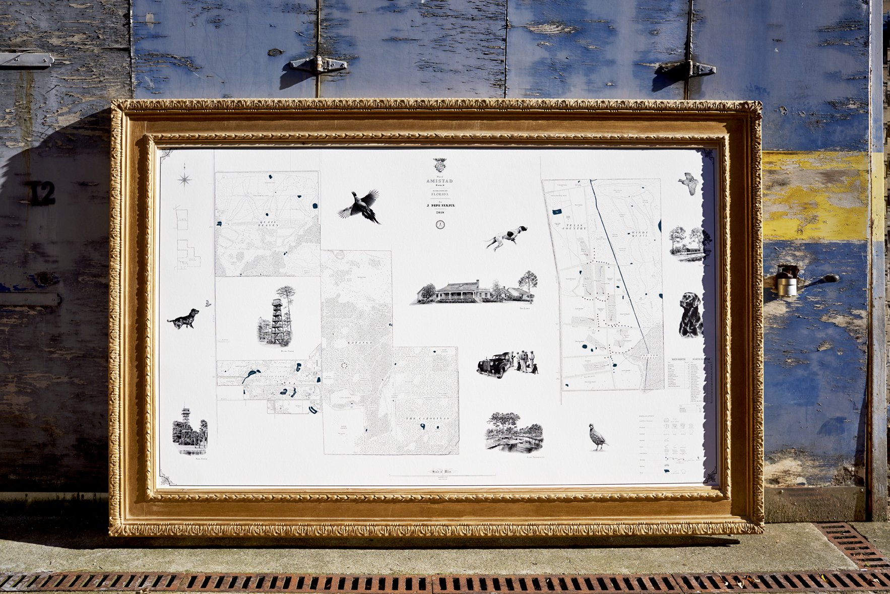
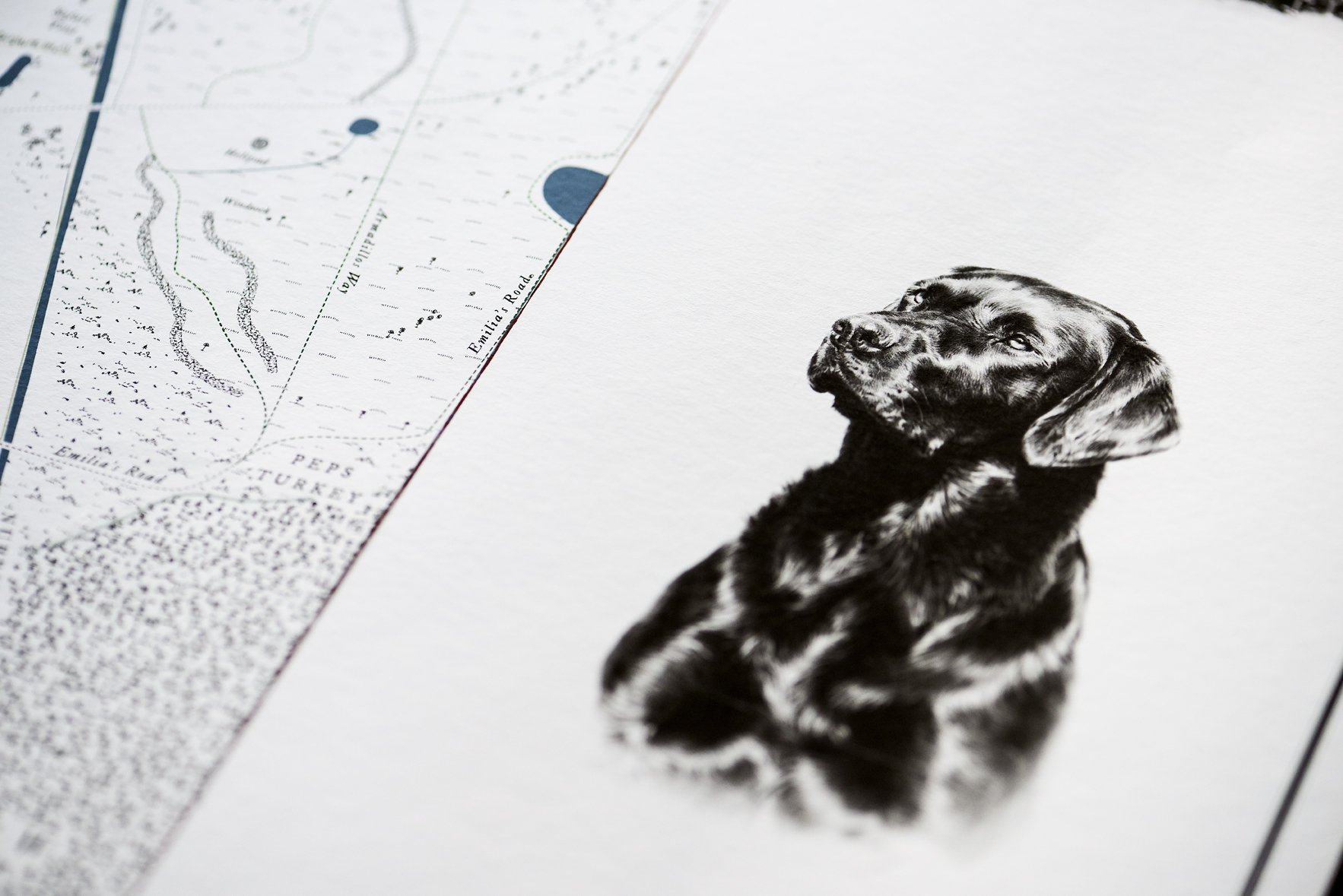
The work has since taken him to estates and family farms, vineyards, ranches in the American West, the quail plantations of the South and cattle stations in Australia. A cartographer with roots in farming and estate management, Anthony brings the same approach to every commission: weeks on the ground, in all weathers, recording how a place is run, named and loved, in ways no survey holds. Rural Maps is his studio, and every map carries its mark.
“The land, and those who live on it, have a story to tell. I make maps to capture it.”
Featured in


Commissions
-
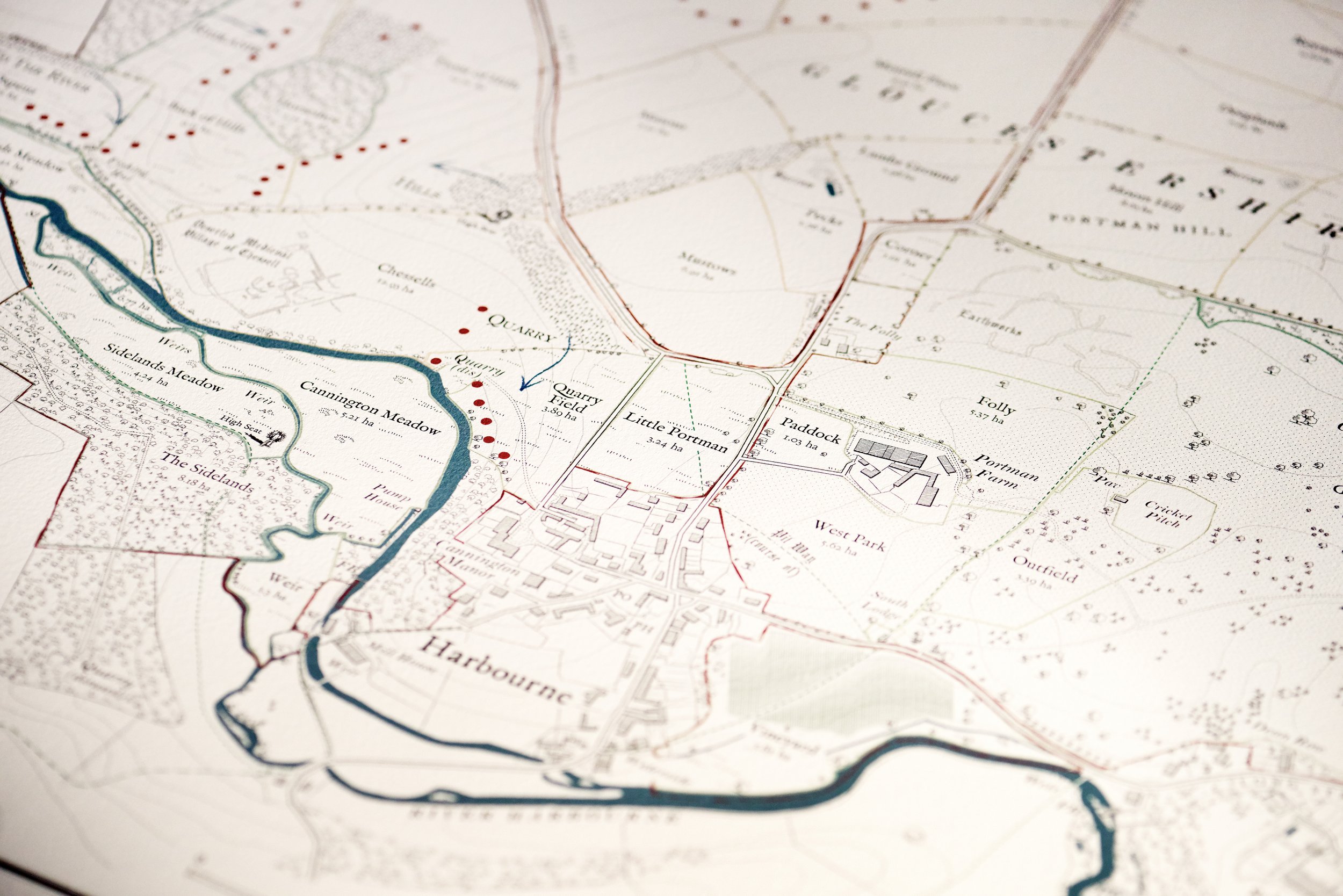
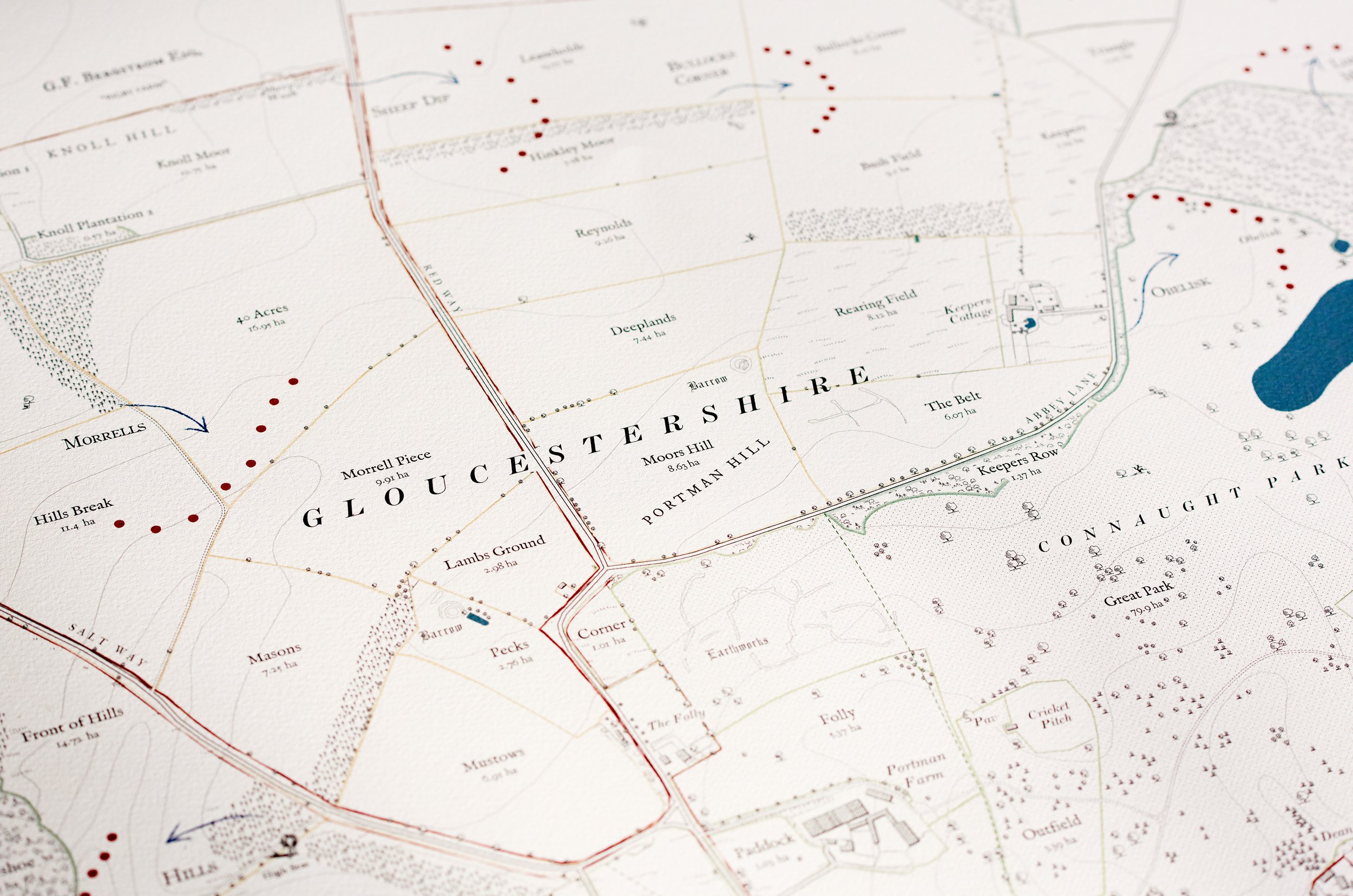
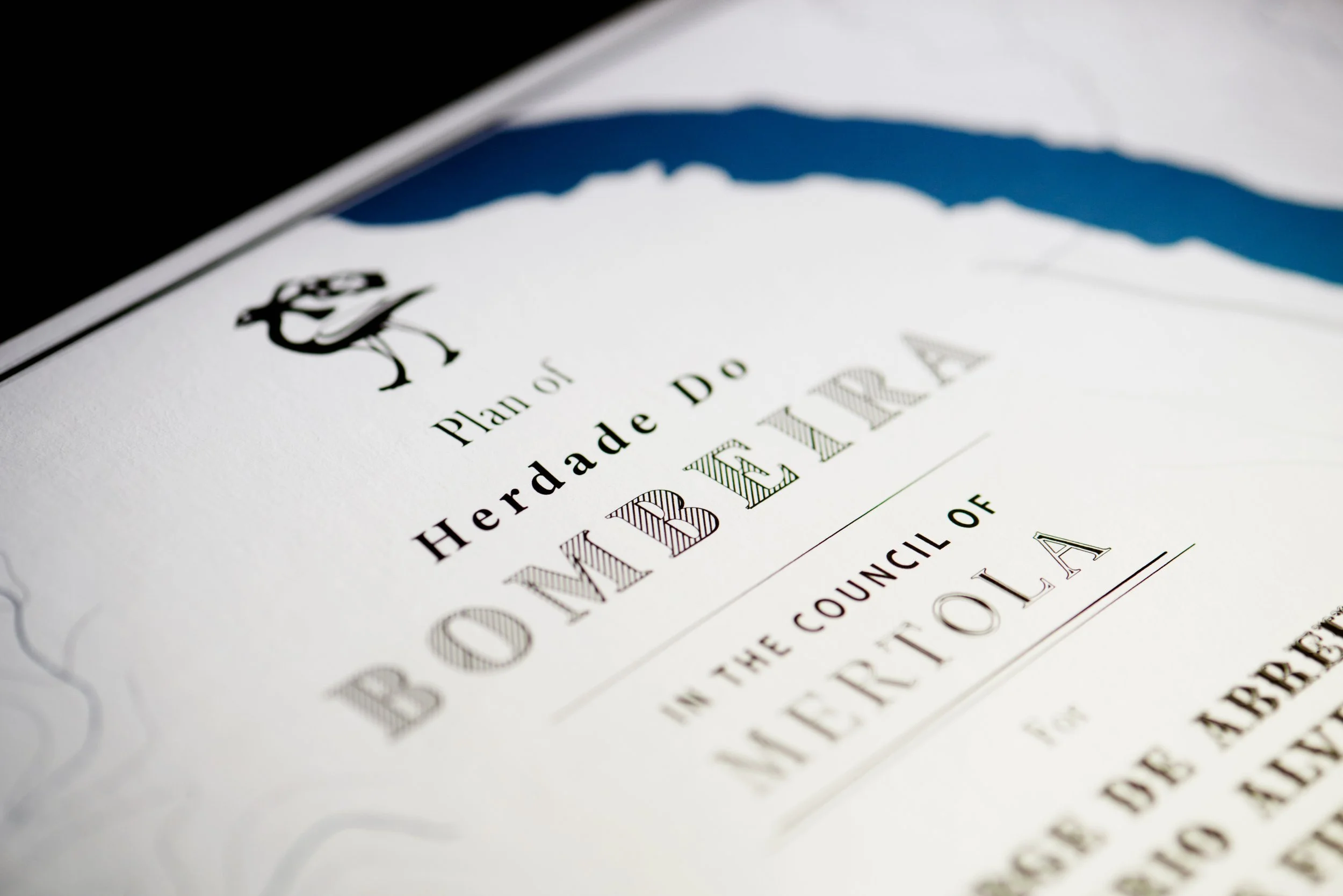
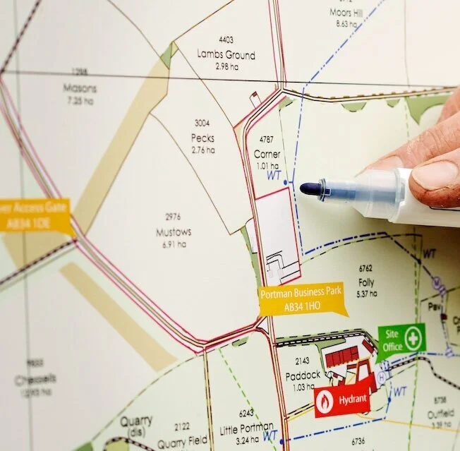
Estate Maps
The land as your family knows it: every named field, drive and covert, drawn by hand for the wall of the house.
-
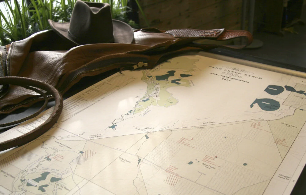
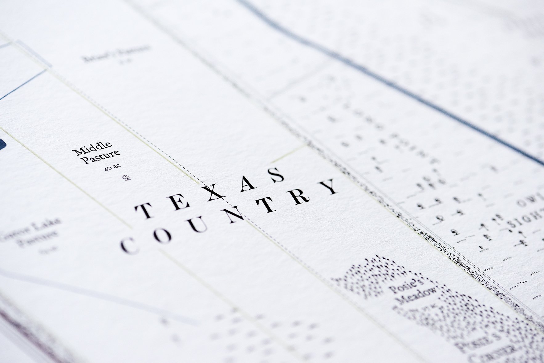
Ranch Maps
Tailored for large-scale landowners, illustrating boundaries, grazing areas, water sources, and key features across expansive ranch properties.
-
Plantation Maps
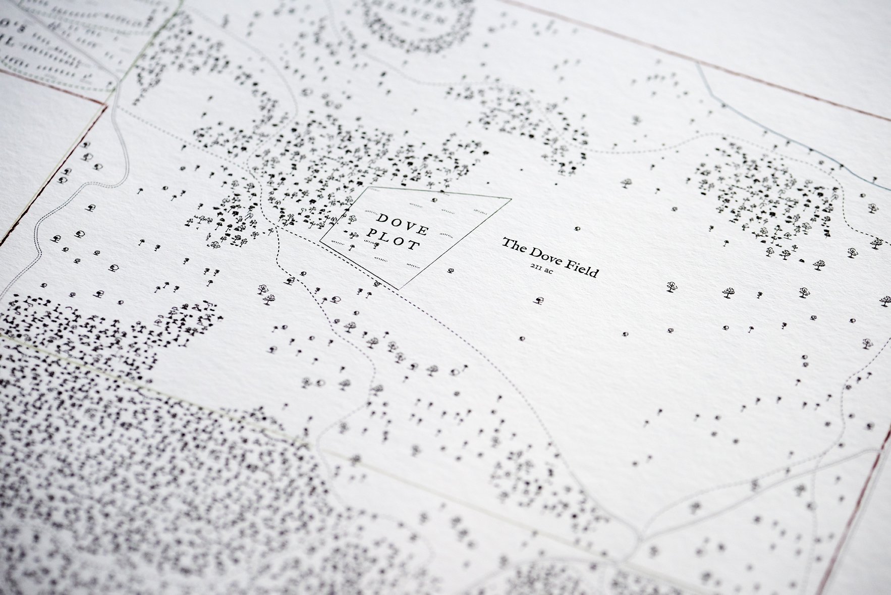
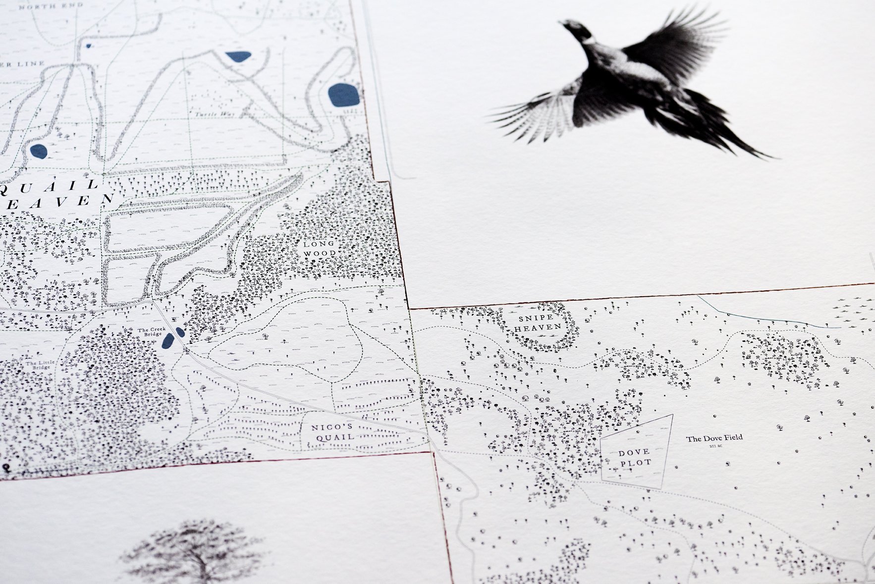
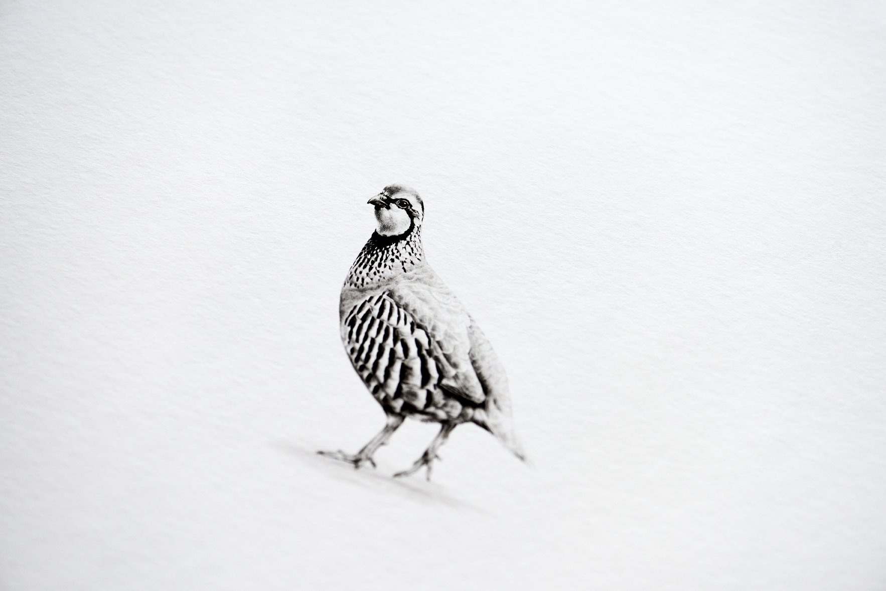
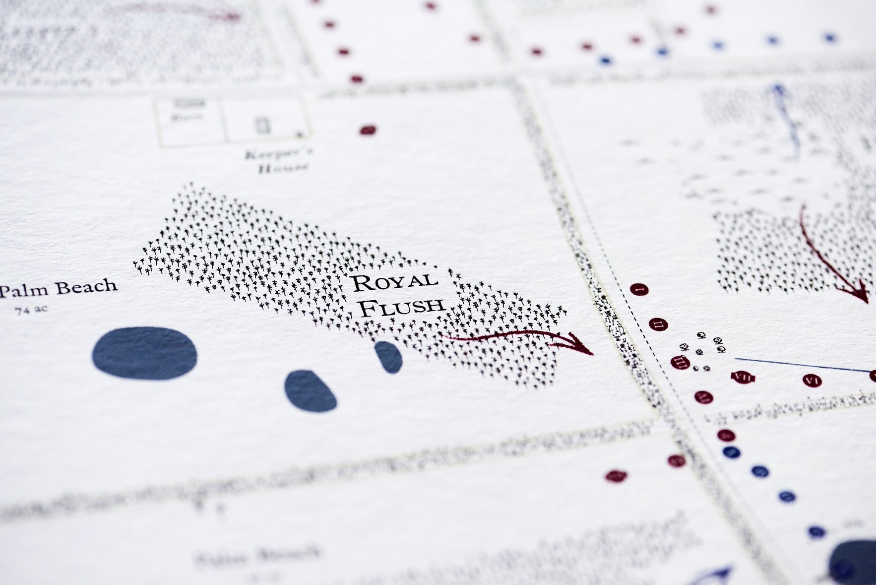
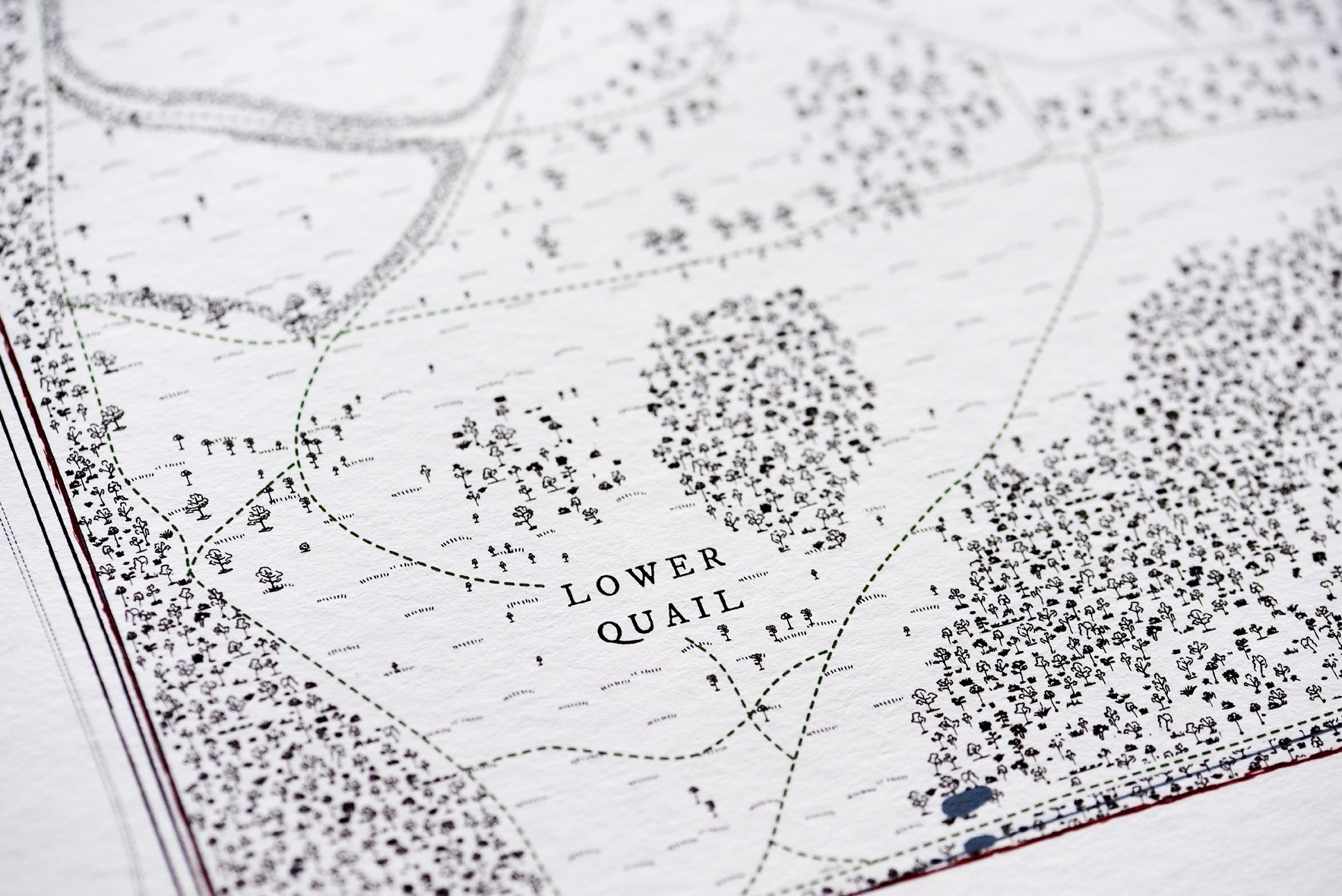
Quail courses, dove fields and the names of the ground, for the sporting plantations of the American South.
-

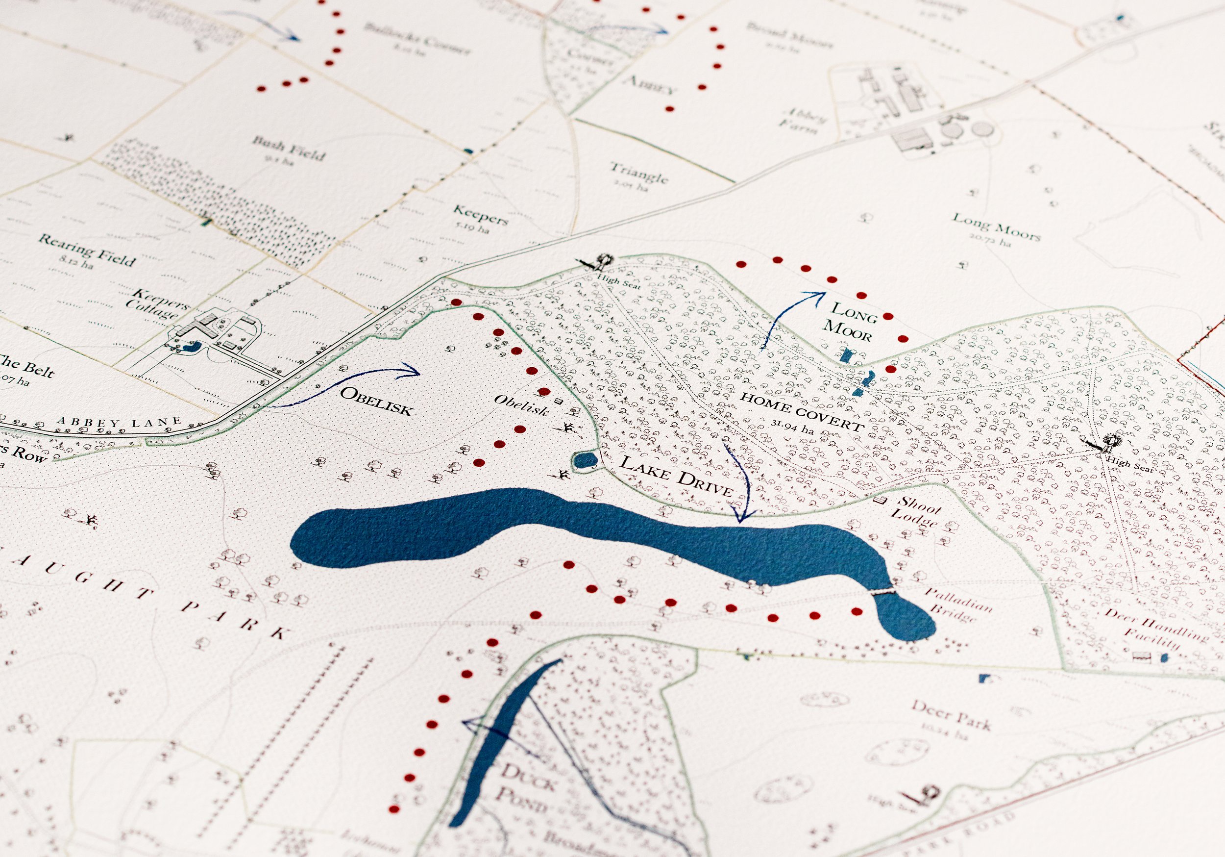
Grouse Moors
A portrait of the ground: the drives, the butts, the marches, the names that appear on no Ordnance Survey sheet.
-

Hunting Maps & Game Shoot Cards
Highly detailed maps and shoot day cards designed for clarity in the field.
-
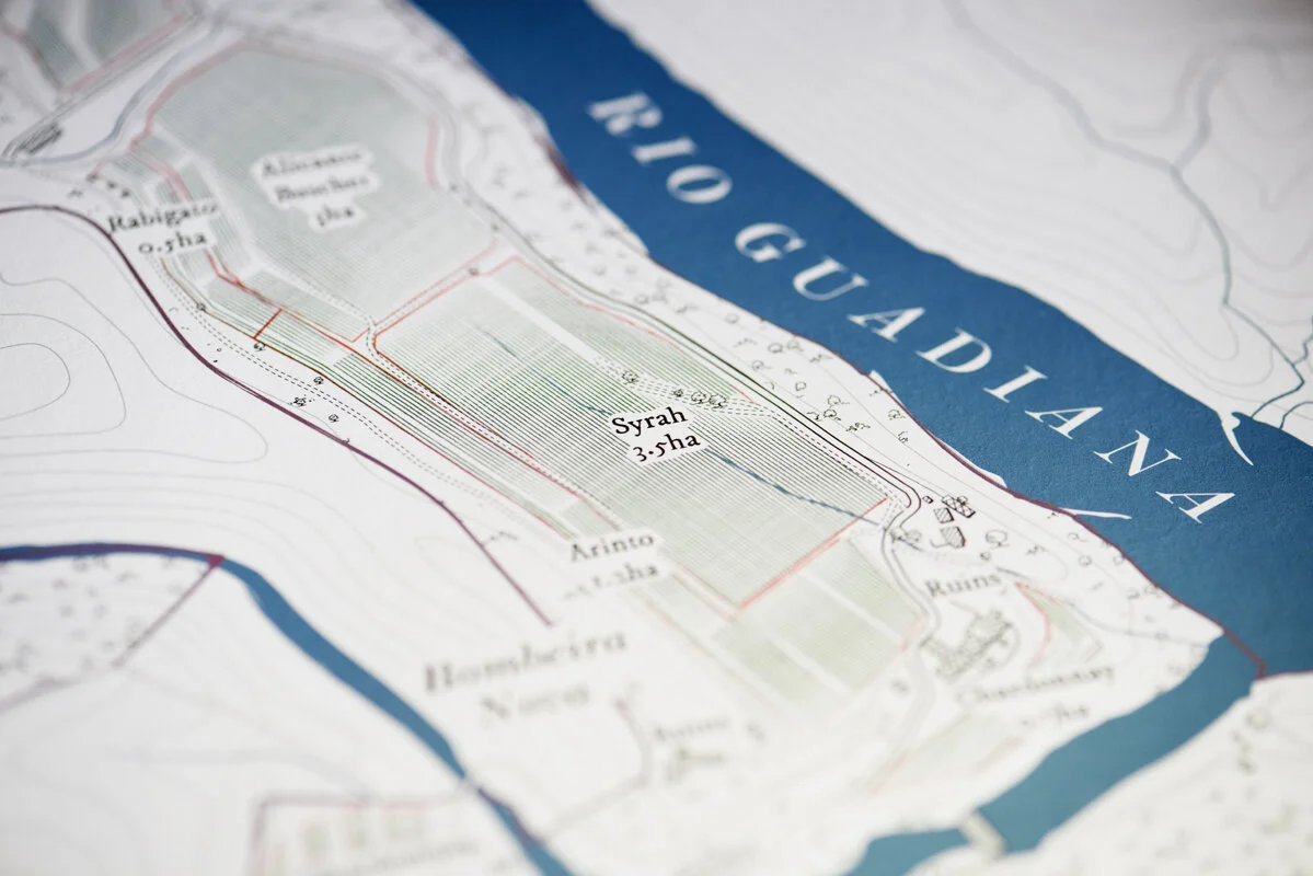
Vineyards & Orchards Maps
Blocks, varietals and rows, drawn with the same hand as the house and the parkland.
-
Farm Maps
Practical and visually refined maps that help farmers manage land, fields, and infrastructure while also providing a professional overview of the holding.
-
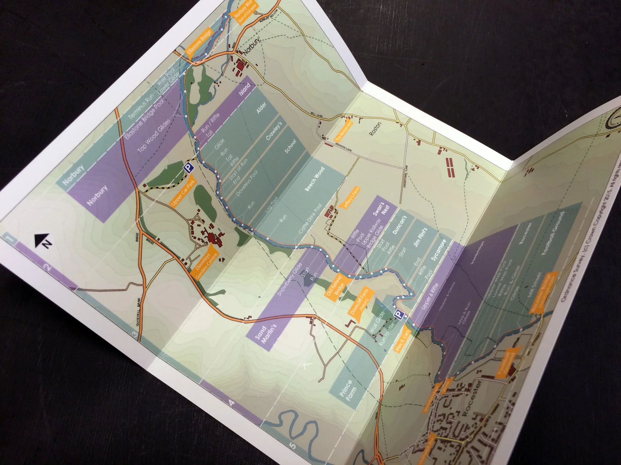
Fishing and River Beats Maps
Beats, pools and lies, mapped along the length of a river.
Contact
Anthony takes on a small number of commissions each year. To discuss yours, please get in touch.